Niseko Annupuri · Routes
↘ Annupuri — West Face Laps
This route carries serious backcountry hazards. Its slope and ATES labels are planning estimates; they do not decide whether it is safe today or suitable for your group.
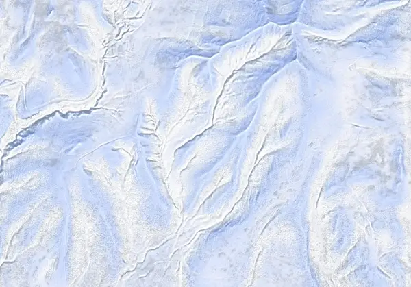 出典:国土地理院(標高タイル DEM10B を加工して作成)
Steepness · profile
← Distance 2.9 km →
Per-segment terrain (data table)
| % | m | Steepness | Aspect |
|---|---|---|---|
| 0% | 763 | 17° | SW |
| 3% | 770 | 12° | SW |
| 6% | 783 | 16° | W |
| 10% | 800 | 21° | W |
| 13% | 817 | 22° | NW |
| 16% | 835 | 21° | W |
| 19% | 857 | 27° | NW |
| 23% | 889 | 36° | W |
| 26% | 928 | 36° | W |
| 29% | 967 | 32° | NW |
| 32% | 1014 | 33° | W |
| 35% | 1002 | 33° | W |
| 39% | 960 | 36° | NW |
| 42% | 925 | 36° | W |
| 45% | 886 | 27° | W |
| 48% | 893 | 36° | NW |
| 52% | 929 | 36° | W |
| 55% | 967 | 33° | NW |
| 58% | 1013 | 33° | W |
| 61% | 1052 | 34° | S |
| 65% | 1073 | 33° | S |
| 68% | 1059 | 33° | NW |
| 71% | 1011 | 38° | NW |
| 74% | 973 | 39° | NW |
| 77% | 928 | 31° | NW |
| 81% | 892 | 28° | NW |
| 84% | 862 | 21° | NW |
| 87% | 841 | 20° | NW |
| 90% | 823 | 22° | W |
| 94% | 807 | 21° | W |
| 97% | 791 | 14° | W |
| 100% | 775 | 11° | W |
Route guide
The West Face Laps zone climbs to the 1065 m point on Niseko Annupuri's southwest ridge and skis the west-facing bowls below it — about 3 km with roughly 320 m per lap. It is the quiet counterpart to the busy resort side and a realistic storm-day objective when wind shuts down the alpine, sheltered in trees for most of the climb. The terrain includes slopes rated ATES Complex (Level 3); read this as a description, not a recommendation.
[The climb] From the plowed carpark at the end of winter snow-clearing on Route 58 (~760 m), the skin track works up the southwest ridge and its spurs through forest — about 1 h 20 breaking trail, or ~45 minutes on a set track, to the 1065 m point.
[The skiing] Two bowls drop off the high point, skier's left and right; both are broad gully features that collect and hold cold snow (max slope ~39°). But terrain that collects powder also collects wind-drifted snow: the prevailing northwesterlies wrap around Iwaonupuri and funnel in from the northeast, and surface wind slab has been observed in the lee of the spurs here. Ridgelines are scoured, bowls are loaded — reassess stability on every lap, not just the first.
[Caution] Because the laps are short and easy to repeat, 'one more run' creeps in as fatigue rises. Check the Japan Avalanche Network Southwest Hokkaido bulletin before you go, and make your own stability assessment.
Access & logistics
Start & parking: The large plowed area at the end of winter snow-clearing on Route 58 (~760 m). Ample but can fill by ~9 am on weekends — start early.
Getting there: From Niseko town toward Goshiki Onsen; expect packed snow and ice to the end of the plowed road.
Onsen: Goshiki Onsen (10:00–19:00, ¥800) and Yukichichibu (12:00–19:00, ¥700, closed Tue) are nearby; hours vary, confirm locally.
Avalanche info: Check the Japan Avalanche Network (SW Hokkaido) and Niseko avalanche bulletins before departing.
Today / tomorrow briefing
Loading…
Set reminders inside Google Calendar
Hokkaido Wilds · Rob Thomson — HokkaidoWilds.org · CC BY-SA 4.0
A planning aid, not a verdict. Always check the day’s official avalanche bulletin and decide in the field.
Route data source: Rob Thomson — HokkaidoWilds.org · CC BY-SA 4.0 · ↓ Download GPX