Chisenupuri · Routes
↘ Chisenupuri — Southeast Face
This route carries serious backcountry hazards. Its slope and ATES labels are planning estimates; they do not decide whether it is safe today or suitable for your group.
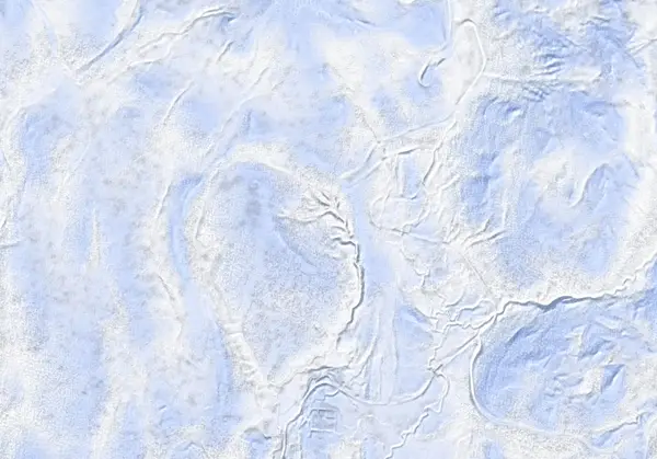 出典:国土地理院(標高タイル DEM10B を加工して作成)
Steepness · profile
← Distance 5.5 km →
Per-segment terrain (data table)
| % | m | Steepness | Aspect |
|---|---|---|---|
| 0% | 617 | 25° | NW |
| 3% | 623 | 27° | S |
| 6% | 636 | 23° | SW |
| 10% | 644 | 18° | SE |
| 13% | 650 | 9° | S |
| 16% | 645 | 21° | SW |
| 19% | 661 | 28° | E |
| 23% | 699 | 45° | S |
| 26% | 730 | 45° | SE |
| 29% | 772 | 27° | SE |
| 32% | 834 | 21° | SE |
| 35% | 877 | 21° | S |
| 39% | 914 | 32° | S |
| 42% | 979 | 36° | S |
| 45% | 1050 | 35° | S |
| 48% | 1120 | 32° | S |
| 52% | 1116 | 35° | S |
| 55% | 1026 | 35° | SE |
| 58% | 931 | 34° | SE |
| 61% | 862 | 26° | SE |
| 65% | 810 | 28° | S |
| 68% | 755 | 28° | S |
| 71% | 735 | 40° | SE |
| 74% | 729 | 45° | S |
| 77% | 704 | 29° | S |
| 81% | 667 | 20° | W |
| 84% | 666 | 16° | E |
| 87% | 647 | 9° | SE |
| 90% | 649 | 13° | S |
| 94% | 647 | 24° | SW |
| 97% | 637 | 27° | SW |
| 100% | 627 | 26° | S |
Route guide
Chisenupuri's southeast face is 'the powder pocket that just keeps on giving' — lee terrain that hoards some of the deepest snow in the range. About 6 km, 510 m and 3.5 hours (2.5 up, 0.5 down), graded 5.5/10 by Hokkaido Wilds. When conditions allow the fall line gives a thrilling ~400 m powder drop — and the same mechanism that stacks the powder makes this unambiguous avalanche terrain, ATES Complex (Level 3) in character. Read this as a description, not a recommendation.
[The climb] Start from the Yusato gate (Route 66/58 intersection) or the Chisenupuri carpark via the public uptrack. The line climbs to the south of the broad eastern face to the 1134 m summit. The GPX carries separate ascent/descent lines and a 'higher-risk avalanche terrain' waypoint near 1170 m.
[The descent — the point that matters] The southeast face is steep, well-defined terrain above treeline that the source explicitly calls 'classic avalanche terrain', and it funnels into a moderately constrictive gully low down — terrain that collects powder also collects whatever releases above it. 'Extreme caution' is the source's own phrase for the wind-loading here. Stable conditions only, one at a time.
[Cautions] Cellphone reception is effectively Docomo-only. The Koyunuma hot pond to the south is a known detour (foot-soaking pools on its west side) — keep clear of thin snow at the water's edge over geothermal ground. Check the Niseko avalanche bulletin and the JAN SW Hokkaido bulletin before every tour.
Access & logistics
Start & parking: The Yusato gate (Route 66/58 intersection) has extremely limited parking — roadside parking is illegal and obstructs traffic; carpool. Alternatively start from the Chisenupuri carpark via the public uptrack.
Getting there: No public transport. ~24 km from central Hirafu; taxi ¥7,500–8,000 one-way.
Reception: Cellphone coverage is effectively Docomo-only.
Onsen: Yukichichibu (¥700, 12:00–19:00, closed Tue, 1.5 km downhill) and Goshiki Onsen (¥800, 10:00–19:00). Confirm hours locally.
Info: Check the Niseko avalanche bulletin and the JAN SW Hokkaido bulletin before departing.
Today / tomorrow briefing
Loading…
Set reminders inside Google Calendar
Hokkaido Wilds · Rob Thomson — HokkaidoWilds.org · CC BY-SA 4.0
A planning aid, not a verdict. Always check the day’s official avalanche bulletin and decide in the field.
Route data source: Rob Thomson — HokkaidoWilds.org · CC BY-SA 4.0 · ↓ Download GPX