Mekunnai-dake · Routes
↘ Mekunnai-dake — Niimi Onsen Route
This route carries serious backcountry hazards. Its slope and ATES labels are planning estimates; they do not decide whether it is safe today or suitable for your group.
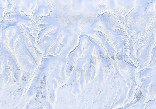 出典:国土地理院(標高タイル DEM10B を加工して作成)
Steepness · profile
← Distance 8.2 km →
Per-segment terrain (data table)
| % | m | Steepness | Aspect |
|---|---|---|---|
| 0% | 495 | 30° | S |
| 3% | 517 | 27° | SW |
| 6% | 535 | 39° | S |
| 10% | 549 | 27° | SW |
| 13% | 541 | 29° | SW |
| 16% | 573 | 29° | E |
| 19% | 630 | 31° | E |
| 23% | 729 | 25° | SE |
| 26% | 803 | 23° | E |
| 29% | 862 | 12° | W |
| 32% | 880 | 15° | NE |
| 35% | 894 | 18° | NE |
| 39% | 922 | 20° | S |
| 42% | 994 | 19° | S |
| 45% | 1042 | 23° | SE |
| 48% | 1106 | 33° | E |
| 52% | 1168 | 30° | SE |
| 55% | 1162 | 33° | SE |
| 58% | 1060 | 18° | S |
| 61% | 995 | 19° | S |
| 65% | 929 | 18° | SE |
| 68% | 896 | 16° | E |
| 71% | 872 | 28° | NE |
| 74% | 834 | 33° | N |
| 77% | 743 | 32° | NE |
| 81% | 679 | 18° | NE |
| 84% | 645 | 31° | E |
| 87% | 601 | 27° | E |
| 90% | 538 | 23° | E |
| 94% | 560 | 39° | SW |
| 97% | 546 | 37° | SW |
| 100% | 527 | 26° | S |
Route guide
The Niimi Onsen route on Mekunnai-dake is the traditional line — and the western gateway of the Niseko Haute Route traverse. About 8.2 km, 690 m and 5 hours (3.5 up, 1.5 down), graded 5.5/10 by Hokkaido Wilds. Niimi Onsen itself was mothballed and demolished in 2020, and Route 268 is no longer cleared for the ~4 km from the Route 66 intersection to the old onsen (per the source as of March 2021) — plan on extra travel along the snowed-in road corridor. Read this as a description, not a recommendation.
[The climb] From the old Niimi Onsen road-end the route enters the creek drainage, crosses on a snow bridge (waypointed in the GPX), and gains the broad southeast ridge to the 862 m plateau. The source is explicit: 'in heavy snowfall conditions, the broad ridge that runs from the creek-crossing to the 862 m mark is avalanche-prone, so take a more southerly route in fresh heavy snow.' Above treeline the final metres to the bouldery summit are a ~20 m boot-pack.
[The skiing] The southeast glades and open slopes are classic Niseko-range tree skiing (baked max 37°, median 19°). Descend broadly along the ascent line and make sure you hit the snow-bridge crossing.
[Cautions] The end of snow-clearing varies year to year — verify on the day rather than trusting the GPX 'end of snow-clearing' waypoint. Check the JAN SW Hokkaido and Niseko avalanche bulletins before departing, and make your own stability assessment.
Access & logistics
Start & parking: Depends on where snow-clearing ends. In years when Route 268 is not cleared beyond the Route 66 intersection (~4 km short of the old onsen), park in the small space near the clearing end and skin the snowed-in road. Do not block the road.
Getting there: No public transport; car only, from the Rankoshi/Niseko side.
The day: ~8.2 km and ~5 hours — more if the road corridor is added. February–April is best.
Onsen: Niimi Onsen is closed. Use Yukichichibu (¥700, closed Tue) or Goshiki Onsen (¥800) instead. Confirm hours locally.
Info: Check the JAN SW Hokkaido and Niseko avalanche bulletins before departing.
Today / tomorrow briefing
Loading…
Set reminders inside Google Calendar
Hokkaido Wilds · Rob Thomson — HokkaidoWilds.org · CC BY-SA 4.0
A planning aid, not a verdict. Always check the day’s official avalanche bulletin and decide in the field.
Route data source: Rob Thomson — HokkaidoWilds.org · CC BY-SA 4.0 · ↓ Download GPX