Yoichi-dake · Routes
↘ Yoichi-dake — Kiroro (Akaigawa) round trip
This route carries serious backcountry hazards. Its slope and ATES labels are planning estimates; they do not decide whether it is safe today or suitable for your group.
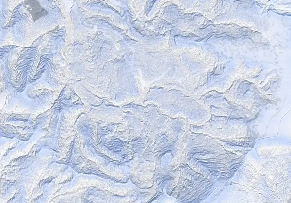 出典:国土地理院(標高タイル DEM10B を加工して作成)
Steepness · profile
← Distance 13.3 km →
Per-segment terrain (data table)
| % | m | Steepness | Aspect |
|---|---|---|---|
| 0% | 565 | 13° | NW |
| 3% | 584 | 27° | W |
| 6% | 635 | 28° | NW |
| 10% | 657 | 21° | NW |
| 13% | 707 | 20° | W |
| 16% | 756 | 30° | W |
| 19% | 836 | 32° | W |
| 23% | 865 | 37° | S |
| 26% | 852 | 25° | SW |
| 29% | 887 | 24° | S |
| 32% | 935 | 24° | NE |
| 35% | 1002 | 41° | N |
| 39% | 1033 | 23° | SW |
| 42% | 1080 | 36° | N |
| 45% | 1217 | 39° | N |
| 48% | 1366 | 35° | E |
| 52% | 1460 | 33° | NE |
| 55% | 1486 | 33° | SE |
| 58% | 1476 | 27° | E |
| 61% | 1386 | 39° | E |
| 65% | 1189 | 30° | NW |
| 68% | 1044 | 37° | N |
| 71% | 1039 | 40° | W |
| 74% | 978 | 24° | N |
| 77% | 924 | 12° | SW |
| 81% | 927 | 11° | S |
| 84% | 908 | 13° | NW |
| 87% | 886 | 12° | NW |
| 90% | 847 | 24° | NW |
| 94% | 762 | 22° | NW |
| 97% | 679 | 19° | N |
| 100% | 624 | 24° | N |
Route guide
Yoichi-dake (1488 m) is the highest peak within Sapporo city limits, looming directly south of Kiroro. This route is a long, quiet round trip from the Kiroro resort base (~560 m): about 13.5 km and 950 m of climbing, taking 7–8 hours in deep winter or around 6 in firm spring snow. It crosses terrain rated ATES Complex (Level 3), and Hokkaido Wilds grades the day 8/10 for strenuousness. Read this as a description of the ground, not a recommendation.
[The valley approach, ~560–1000 m] File your tour plan at the resort desk, exit via the bottom gate, and follow the valley along the mapped road / summer-trail corridor (invisible under winter snow), joining the summer-trail line at about 3.5 km. This is gentle distance-making ground.
[The treed traverse, ~1000–1300 m] Above 1000 m a long climbing traverse to climber's right through well-spaced trees gains the main ridge. The NW-facing glades hold cold, dry snow — the powder highlight of the route (the line crosses slopes reaching ~41°).
[The summit ridge, ~1300–1488 m] The upper ridge is broad, exposed and fully alpine. Wind, icing and navigation are the crux: in a whiteout the wide featureless crest gives almost nothing to steer by. The summit is a clear-weather objective, and clear windows are rare in midwinter.
[The descent] Ski down broadly along the ascent line, choosing your descent terrain to match the day's stability — and turn around if compression tests or other signs show instability. The route returns to its start, so no car shuttle is needed. Check the Japan Avalanche Network Southwest Hokkaido bulletin before departing.
Access & logistics
Start & registration: The tour starts from the Kiroro Snow World base buildings. Submit a backcountry tour plan at the base desk before departing and leave the resort via the bottom gate — that is the house rule.
Parking & access: Use Kiroro's main lot (or the lower lot with shuttle). By public transport, buses run from Otaru Station to Kiroro.
The day: ~13.5 km and 6–8 hours; a pure round trip, no car shuttle needed. Midwinter daylight is short — start early.
Onsen: Mori-no-yu at Kiroro (¥1200); Musashitei (¥600) and the Classe Hotel (¥800) in Asarigawa Onsen. Confirm hours with each venue.
Today / tomorrow briefing
Loading…
Set reminders inside Google Calendar
Hokkaido Wilds · Rob Thomson — HokkaidoWilds.org · CC BY-SA 4.0
A planning aid, not a verdict. Always check the day’s official avalanche bulletin and decide in the field.
Route data source: Rob Thomson — HokkaidoWilds.org · CC BY-SA 4.0 · ↓ Download GPX