Sandan-yama · Routes
↘ Sandan-yama — Fukiage Onsen (standard)
This route carries serious backcountry hazards. Its slope and ATES labels are planning estimates; they do not decide whether it is safe today or suitable for your group.
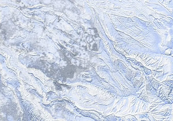 出典:国土地理院(標高タイル dem5a + DEM10B を加工して作成)
Steepness · profile
← Distance 5.9 km →
Per-segment terrain (data table)
| % | m | Steepness | Aspect |
|---|---|---|---|
| 0% | 1014 | 24° | NW |
| 3% | 1039 | 16° | N |
| 6% | 1069 | 20° | NW |
| 10% | 1097 | 26° | N |
| 13% | 1135 | 29° | W |
| 16% | 1181 | 28° | N |
| 19% | 1212 | 26° | NW |
| 23% | 1249 | 31° | N |
| 26% | 1303 | 31° | NW |
| 29% | 1350 | 22° | W |
| 32% | 1391 | 37° | N |
| 35% | 1441 | 40° | NE |
| 39% | 1510 | 24° | NW |
| 42% | 1564 | 31° | N |
| 45% | 1609 | 36° | SW |
| 48% | 1676 | 40° | NW |
| 52% | 1735 | 41° | SW |
| 55% | 1706 | 36° | NW |
| 58% | 1637 | 36° | NE |
| 61% | 1590 | 27° | N |
| 65% | 1534 | 34° | N |
| 68% | 1457 | 40° | NW |
| 71% | 1411 | 26° | NW |
| 74% | 1359 | 30° | N |
| 77% | 1315 | 31° | SW |
| 81% | 1262 | 31° | N |
| 84% | 1220 | 23° | NW |
| 87% | 1196 | 29° | NW |
| 90% | 1154 | 29° | NE |
| 94% | 1109 | 23° | W |
| 97% | 1075 | 16° | NW |
| 100% | 1048 | 15° | NW |
Route guide
Sandan-yama (1748 m) is the bench-terraced peak northwest of Tokachidake — its name ('three-step mountain') describes the stacked profile seen from the Bogakudai side. This is the classic of the Tokachi Range: from Fukiage Onsen's Hakuginso lodge (~1010 m) up the northwest ridge to the summit and back, ~730 m over ~6 km, around 4 hours (3 up, 1 down). Under Alert Level 2 (June 2026 to 11 September 2026) it was recorded as one of the few major Tokachi objectives outside the restriction zone; JMA raised the volcano to Level 3 (mountain access restriction) on 12 September 2026 (in force as of 2026-09-12) and the Kamifurano-side trailheads are closed, so this route is closed right now (Kamifurano Tokachidake Tourism Association, 12 September 2026). The day includes terrain of ATES Complex (Level 3) character; read this as a description, not a recommendation.
[The climb] From behind Hakuginso the track climbs the open, tree-free cuts of the defunct Fukiage ski area onto the main ridge ('gain the main ridge around here,' ~1168 m). From there it follows roughly the summer-trail line — benched flats alternating with four or so short steeper rises, rarely demanding kick-turns. Maximum slope is about 42°, but the median is a mellow ~24°.
[The summit, 1748 m] The top is fully exposed. Midwinter cold is the routine hazard here: below −15°C at the lodge and −25°C windchill on the summit are normal. Tokachidake's steaming vents fill the view east — and that eastern ridge faces the crater side; it was recorded as running close to the Level 2 (June 2026 to 11 September 2026) 1.5 km restriction boundary. Do not drift east.
[The descent] Ski the NW ascent slopes back down. Ice clumps and creeping pine hide under the powder, especially on the bench edges above the old ski-area cuts; a small gully at ~1644 m is flagged as a hazard waypoint. And the benches' gentle look is deceptive about the lee sides: in March 2026 a size-2 wind slab in the Sandan-yama / Ansei crater area fully buried a ski tourer. Check the JAN Central Hokkaido bulletin for the day and make your own stability assessment.
Access & logistics
Start & parking: The Hakuginso carpark at Fukiage Onsen; backcountry users park on the eastern side (lodge policy; overnight ¥500).
Getting there: Winter access is via Route 291 from Kami-Furano only (the Biei/Shirogane road is closed in winter). Town bus from JR Kami-Furano Station: ~30 min, ~¥500, 3/day.
The day: The standard ~6 km, ~4 hour day tour of the range. Severe cold and wind are the routine hazard — dress for frostbite prevention.
Onsen: Hakuginso's day-use bath (~¥700) is at the trailhead door; the free wild Fukiage rotenburo is 10 minutes down the road. Bunks ~¥3100 (phone booking only), big communal kitchen and drying room; Jan–Feb weekends book out.
Info: Check the live JMA volcano bulletin (Tokachidake), Kamifurano town notices and the JAN Central Hokkaido bulletin before departing.
Today / tomorrow briefing
Loading…
Set reminders inside Google Calendar
Hokkaido Wilds · Rob Thomson — HokkaidoWilds.org · CC BY-SA 4.0
A planning aid, not a verdict. Always check the day’s official avalanche bulletin and decide in the field.
Route data source: Rob Thomson — HokkaidoWilds.org · CC BY-SA 4.0 · ↓ Download GPX